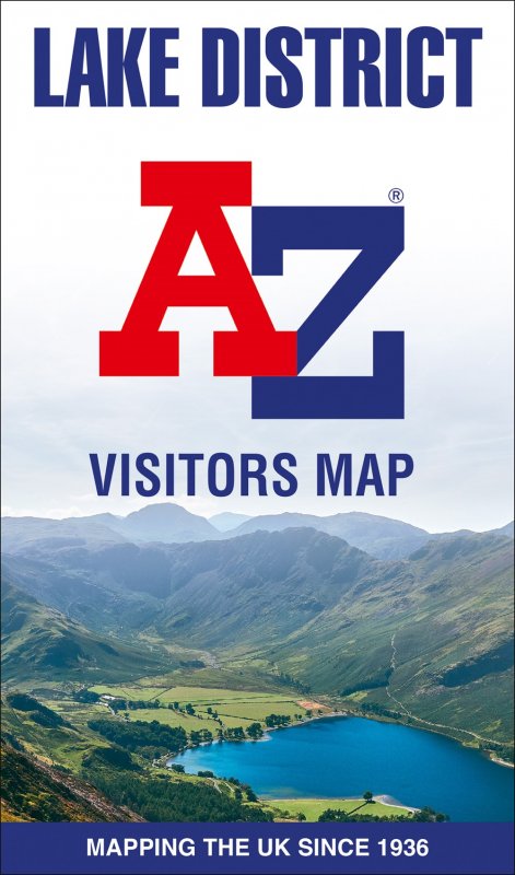
Lake District Visitor’s Map
|
Explore the whole region and area extending from Cockermouth and Penrith in the north to Ulverston and Grange-over-Sands in the south and from the M6 in the east to the coast in the west. Published at a clear 2.45 miles to 1 inch scale, this detailed visitors map of the Lake District includes primary route destinations and selected caravan and camping sites. Plus, there is detailed informative text for visitor attractions and places of interest. Town centre street maps Ambleside, Cockermouth, Coniston, Grange-over-Sands, Grasmere, Hawkshead, Kendal, Keswick, Penrith, Ulverston, Windermere and Bowness-on-Windermere. Each town centre map includes descriptive text and useful information about its visitor attractions and places of interest. There are separate indexes for each town plan and a road map index listing towns, villages, hamlets and locations. The ‘Index to Places of Interest’ lists tourist sites by feature type. The perfect map for exploring the English Lakes.
|


Reviews
There are no reviews yet.